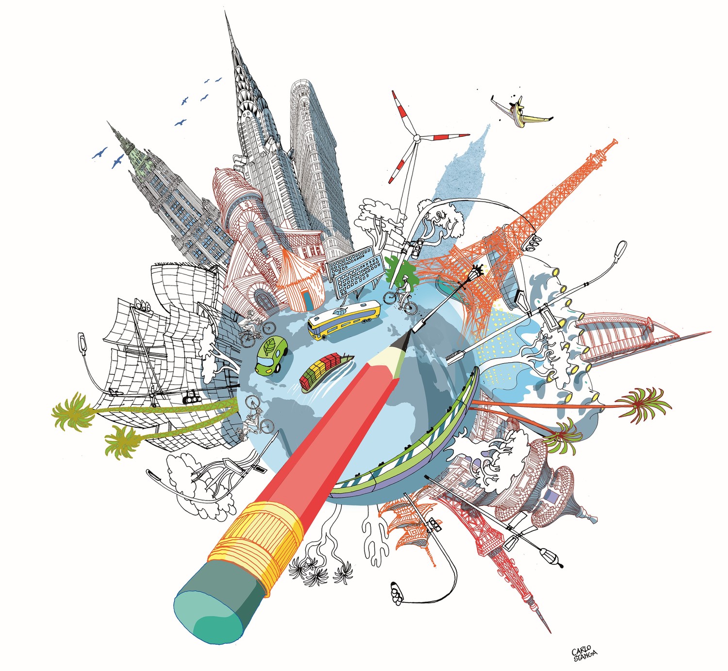


Going Global
The International Geodesign Collaboration, cofounded by the U's Tom Fisher, aims to solve the world's biggest problems through design.

If you ask Tom Fisher, director of the U's Minnesota Design Center, looking at design from a global perspective could creatively address some of the planet’s thorniest issues—like climate change, human migration, conservation, and land development.
“We all deal with the same issues,” says Fisher, a professor and Dayton Hudson Chair in Urban Design in the College of Design. “Can a global effort of design scenarios and strategies resolve these challenges [in a way] that is equitable, cost effective, and environmentally effective? Let’s approach the entire planet as a design problem and find solutions through geodesign thinking.”
Fisher is trying to do just that through the International Geodesign Collaboration (IGC), which he cofounded in 2018 with Brian Orland, a landscape architect and geodesign professor at the University of Georgia, and London-based Carl Steinitz, a professor emeritus at Harvard’s Graduate School of Design who is regarded as the “father” of geodesign.
Geodesign is an approach that uses digital mapping and spatial analytics to help communities assess and shape their futures with sustainable results. Digital maps are created that allow people to make informed decisions about global challenges, such as predicting flash floods, the rate of rising sea levels, or population growth.
The new collaboration—a network of 90 universities, from every continent but Antarctica—held its inaugural conference in Redlands, California, in February. Redlands is home to Esri, the Environmental Systems Research Institute, a pioneering GIS mapping and spatial analysis software company. Esri’s cofounder and president is Jack Dangermond (M.Arch. ’68), a former student of Steinitz’s at Harvard (read our Summer 2018 story about Dangermond here. The two-day IGC conference preceded Esri’s 10th annual Geodesign Summit.
Approximately 60 geodesign projects from 29 countries were presented at the conference. Representatives traveled from Sweden, Italy, Spain, England, Germany, Turkey, Mexico, Brazil, Venezuela, Argentina, Australia, Canada, and several African countries.
“It was all very egalitarian,” Fisher says. “With our current political polar-ization, nativism, and world unrest, you’d never guess some of our countries had tension with each other. Academics tried to solve problems collectively within a common framework. After all, we are on the same planet, dealing with the same forces, and sharing methods and ideas."
Fisher originally conceived of the collaboration as a U.S.-based group addressing infrastructure problems. But Steinitz, who published A Framework for Geodesign in 2012, wanted to take it global. “When Carl tapped into his international network, IGC participants jumped from 12 to 90 overnight,” Fisher says.
The individual projects were exhibited on boards that the Minnesota Design Center printed and shipped to Redlands (some of them can be viewed here); soon, they will be on view in Ralph Rapson Hall. For comparison purposes, projects were clustered in groups based on the latitudes of their countries of origin—hot, warm, and cold climates—and by largest to smallest—urban, suburban, and rural. The projects were delivered as five-minute “lightning talks.” Each group also identified the potential outcomes of their project in 10 years, in 30 years, and if nothing was done at all. The scenarios considered government policy changes, climate change effects, mass transit, and water shortages, among other factors.
“The comparisons were fascinating,” says Fisher. “We could see the differences in public policy made in Great Britain versus those made in China. A gold mine of information exists in this cross-comparative work.”
The U submitted an expanded version of an earlier Design Center project, which evaluated the assets and future development of the Creative Enterprise Zone, an area east of the Minneapolis campus that skirts University Avenue in Saint Paul. A placemaking project, the CEZ wanted to identify ways to bolster creative, economic, and cultural development that would enhance residents’ sense of place and community. It was led by Design Center Senior Research Fellow Tim Griffin, whose Urban Design Studio created a master plan using geodesign mapping.
The University College London’s project, presented by Steinitz, was called The East-West Arc, Re-thinking Growth in the London Region. It addressed whether the UK government should spend billions of pounds on a train line connecting Oxford to Milton Keynes to Cambridge. The geodesign research showed that there is relatively little travel in that corridor, as most people travel into and out of London rather than around the city in an arc.
“The geodesign process connects data to ideas and images, so architects, planners, and design professionals can create smart design to better solve problems and serve communities,” says Griffin. “As a design tool, it requires participants to reach consensus through negotiation. It’s a challenging way of designing, but I will continue to teach it to students.”
Fisher predicts a bright future for the IGC; he thinks the 2020 conference will draw over 100 participants. “The IGC has a wealth of intellectual power, 90 universities with top world scholars working together,” he says. “Many have connections to their governments, nonprofit agencies, and world leaders. By networking globally, thinking through common problems, we will achieve much more than if individual universities worked without knowledge of each other. It’s exciting.”